| Image | Lot | Price | Description |


|
2620
|
$0.00
|
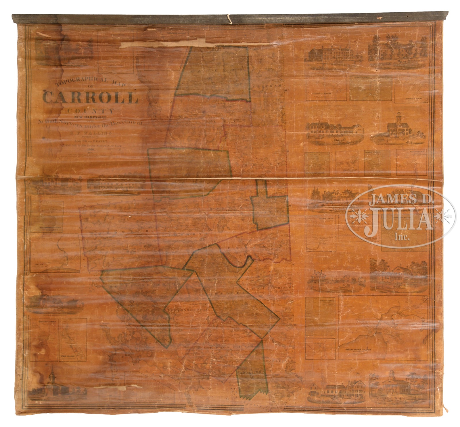
THREE 19TH CENTURY WALL MAPS OF NEW HAMPSHIRE & MAINE.1) York County, Maine, Published by J L Smith & Co., 1856. Rolled map shows the towns in different border colors, the outside with small vignettes and maps. 2) Topographical map of Carroll County, New Hampshire by H.F. Walling, 1860. Rolled map shows the towns in different border colors with engraved vignettes and maps surrounding. 3) Map of Belknap County, New Hampshire Published by Smith & Peavey, 1859. Rolled map shows the towns in different border colors, the outside with small vignettes and maps. SIZE: 1) Overall: 58″ x 54″. 2) Overall: 54″ x 56″. 3) Overall: 54″ x 55″. CONDITION: 1) A significant amount of deterioration to paper through cracks, folds & losses, being sold as is. 2) Missing one hanging rod, age toned over whole map, significant cracks, losses and fold, being sold as is. 3) Stained, overall brown toned, significant losses through fold, chips, cracks, etc, being sold as is. 51437-50 (300-500) – Lot 2620
Auction: Fine Art, Asian & Antiques - Winter 2017 Please Note: All prices include the hammer price plus the buyer’s premium, which is paid by the buyer as part of the purchase price. The prices noted here after the auction are considered unofficial and do not become official until after the 46th day. |