| Image | Lot | Price | Description |


|
733
|
$408,250.00
|
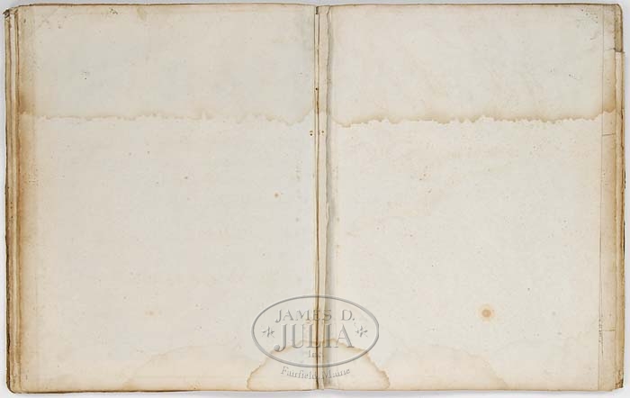
EXCEEDINGLY RARE AND IMPORTANT AMERICAN PILOT CHART BOOK, 1794. To our knowledge this is the only chart book of its kind in recent times to come to auction. Single charts can be found but we can find no record of this chart book. It is a fine, early copy of the American Pilot and worthy of any advanced collection. Original hardboard binding with leather spine having the name “Andw (Andrew) Dunnings Book”. Frontice page with title “The American Pilot” by Osgood Carleton Boston, September 10th 1791. Printed and sold by John Norman at his office No. 75 Newbury Street MDCCXCIIII (1794). Also having a 3-1/2″ h x 4″ w engraving of a presenting eagle with banner “E Pluribus Unum”. Second page titled “Directions for Sailing Along the Coast of North America” which continues on the back. The following charts in order of book: 1) Two page chart of Nantucket Shoals surveyed by Capt. Paul Pinkham, John Norman, 1791. 2) One page chart “A New Chart of the Sea Coast from the Island of Cyenne to the River Poumaron” by Osgood Carleton with no date. 3) Large 29″ x 40-1/2″ fold out two page chart of “A New General Chart of the West Indes from the Latest Marine Journals and Surveys” by Osgood Carlteon, Boston Dec. 28 1789. 4) One page “A Chart of South Carolina and Georgia” with inset “A Chart of the Bar and Harbour of Charlestown”. No name or date. 5) Two page “Chart of the Coast of America from Cape Hateras to Cape Roman” from the actual surveys of DL. Dunbibine, Esqr. No name or date. 6) Extended 40″ x 21-1/2″ double page fold out “A Chart from New York to Whimble Shoals” by Osgood Carleton. 7) Multi fold out 42-1/2″ (at tallest) x 76″ (at widest) double page “Chart from New York to Timber Island Including Nantucket Shoals from the latest surveys” by Osgood Carleton, no date. Inset of Plymouth Bay. 8) Double page chart with no title but being a continuation of the Northeast Coast from the Saco River to Pleasant River including Mt. Desert Island. 9) One page chart untitled but showing the Bay of Fundy. 10) Single page untitled chart showing the Gulph of St. Laurence and the Streights of Belle Isle. 11) Two page “Chart of the Bank of New Foundland” with no date. Inset table titled “Astronomical Observations on which this chart is grounded”. 12) One page “A New Chart of the Sea Coast from the Isle of Cyenne to the River Poumaron”. SIZE: Book is 21-1/4″ x 17-1/4″. PROVENANCE: From a coastal Maine home. CONDITION: Chart conditions as follows: 1) Water stain to upper and bottom fourths, light foxing. 2) Left and right quarter sides have water stains, light foxing. 3) Water stain to upper quarter and bottom fold area, foxing, separation at right corner folds and tear at left of center folds, approximately 10″. Minor losses at tears. 4) Upper and bottom third with water stain, light foxing. 5) Top third and bottom quarter have water stains and light foxing. 6) Top and bottom third has water stains, overall light foxing, several 1″ tears to right margin. 7) Intact but has several tears, foxing and stains at top third of upper most map. 8) Upper third with water stain, stains at bottom, light foxing. 9) Upper third with water stain, light foxing, small tear to bottom margin. 10) Upper and bottom third with water stain, light foxing, small tear to right margin. 11) Upper third has water stain, some spot stains, light foxing. 12) This map is the last map and lies up against the back cover of which at one early time got wet and some of the image and paper are on the back cover, it is as is. With some tears, losses, stains and foxing. 9-91122 (50,000-100,000)
Auction: Fine Art, Antiques & Asian - Winter 2008 Please Note: All prices include the hammer price plus the buyer’s premium, which is paid by the buyer as part of the purchase price. The prices noted here after the auction are considered unofficial and do not become official until after the 46th day. |